| Site: Home Daily Weather Summaries Search Feedback About | |
| Weather: Forecasts Current Recent & climate Severe Know-how Mobile |
| World weather maps Radar & Lighting `Rain & rivers Daily data Today's daily summary DA Page |
| NSW VIC/TAS SA WA-S WA-N NT QLD-N QLD-S All radars Radar & Lightning links |
|
Use the menu in the grey bar above to get to radars for each state. National radar summary |
 |
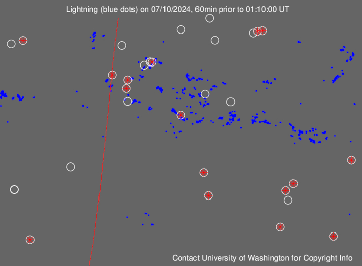
Latest lightning strikes In this image from wwlln.net, strikes are shown in blue and sensors are the circled red asterisks. The red line is the daylight terminator. 24-hour animations (delayed by about 4 hours) are available for |
 |
|