|
 NSW, QLD: Rain
develops in northern NSW, inland QLD NSW, QLD: Rain
develops in northern NSW, inland QLD
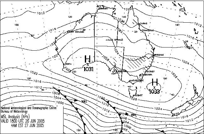
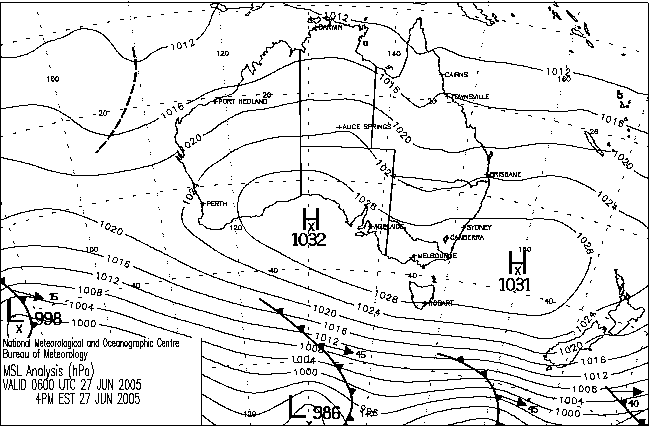
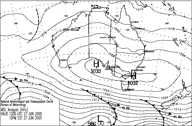
An upper low that span off a passing Southern Ocean trough on Saturday moved
into far NW NSW today, bringing cold air aloft and generating the surface trough
visible on the chart above. The trough at the surface and the upper circulation
above about 3km have moved significant amounts of moisture across the coast
and into the border area, and the colder upper air arriving from the west moved
instability into the area overnight. Thunderstorms were reported in western
NSW from mid-afternoon yesterday, and rain, only some associated with storms,
began falling in central northern NSW yesterday evening.
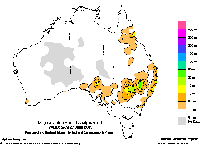
The heaviest falls in the 24 hours to 9am were in a north/south band to the
east of Walgett. Rowena recorded 43.6mm, Burren Junction 37.2, Collarenebri
35.2
and
Gwabegar
34.0. Showers became more insistent on the North Coast, where Cape Byron recorded
40.4 and South West Rocks near Kempsey 39.2.
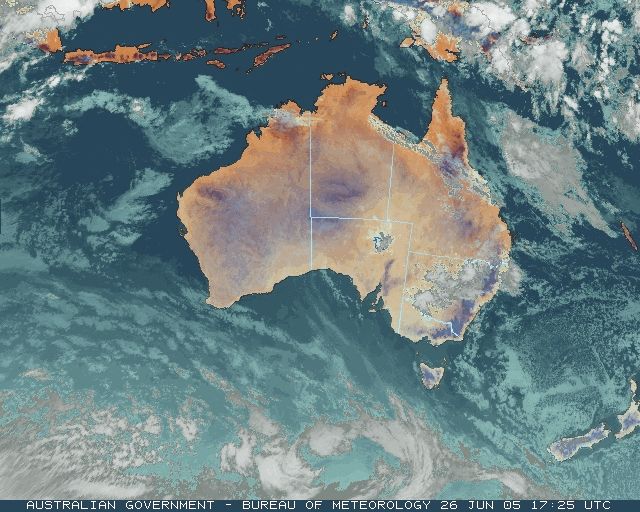
During the day, rain continued along the NSW North Coast and developed down
much of the QLD coast south of Townsville. As the upper system moved slowly
east, thunderstorms and rain areas began in southern and central inland QLD.
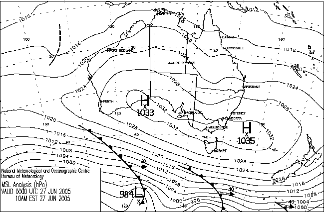
Further details are in the Daily Weather Summary for 28
JUN.
TAS:
Ice again a problem on the roads
Widespread frost-level temperatures again produced icy conditions on roads
around TAS this morning. Over 50 crashes involving about 100 vehicles were
reported to police between midnight and 10am, mostly caused by ice on the roads.
In the state's southeast, where Hobart City reported a minimum temperature
of
1.3,
crashes
were reported
at Sandfly, Premaydena, Mornington, Cambridge, Sorell, Mt Nelson and Glenorchy.
The Bridgewater Bridge across the Derwent upstream of Hobart was described
as "completely iced over" and was partly closed for an hour after a crash at
8.20am. Around Launceston, where the airport's minimum was -3.7,
ice
caused crashes
at Perth, Hadspen
and Longford. Both Launceston and Hobart's minima were the lowest for the month
|